Services
Our Services

LAND SURVEYING AND MAPPING
We have extensive experience in producing high quality land surveys of almost any environment imaginable ranging from small domestics properties to vast rural and industrial areas. We use the latest survey technology such as Total Station DGPS and RTK Drones to capture data quickly and efficiently improving delivery times and giving our customers optimum value for money.

ROADS SURVEY AND ENGINEERING
DESIGNING AND DPR PREPRATION
We are expertise in survey and detailed engineering in all type of road project in INDIA. Feasibility study, detailed project report and pretender services are carried out in-house expertise of mapping in existing and new Highways

AERIAL SURVEY AND MAPPING
RITECH offers fully integrated Aerial digital topographic mapping services with the ability to take on any project on the Kerala. We routinely assess the use of UAVs on survey work as a more efficient tool that can provide much more detailed information than traditional survey techniques in some situations. Using UAVs means we can map more quickly and effectively, allowing large volume of different data types to be captured rapidly at a very high resolution.
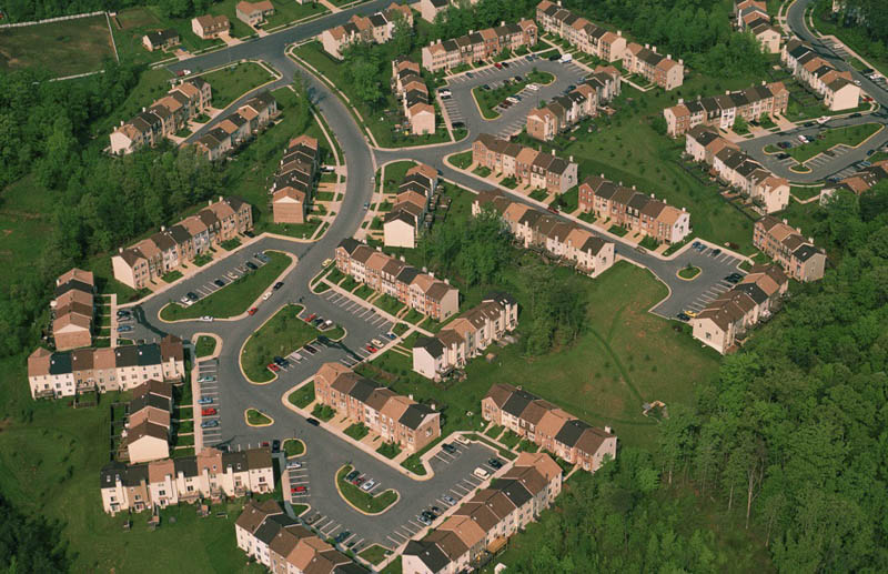
LAND DEVELOPMENT
RITECH has been a leader in the delivery of creative multidisciplinary solutions like internal roads and junctions, underground sewage and potable pipe line, electrical and OFC lines, storm water drainage system, street light and landscaping for urban and rural development of land for residential development , and villas and resorts across in Kerala
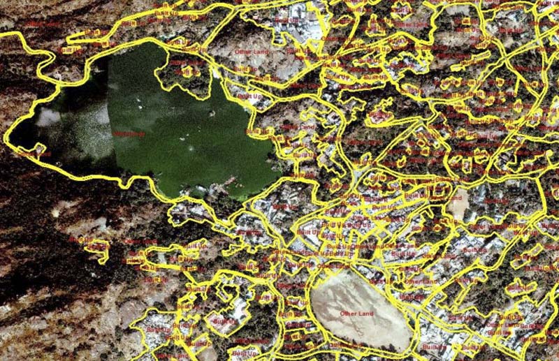
GIS DATA BASE DEVELOPMENT
GIS mapping offers a comprehensive digital mapping service by utilizing the latest geographic information systems technology, and digital ordnance survey data to produce a diverse variety of accurate mapping. We can help you visualize your assets more effectively by mapping them onto a GIS Mapping